
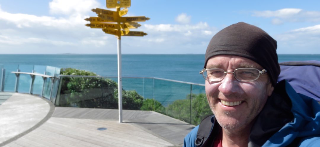
TA SI NOBO, Te Araroa South Island north bound

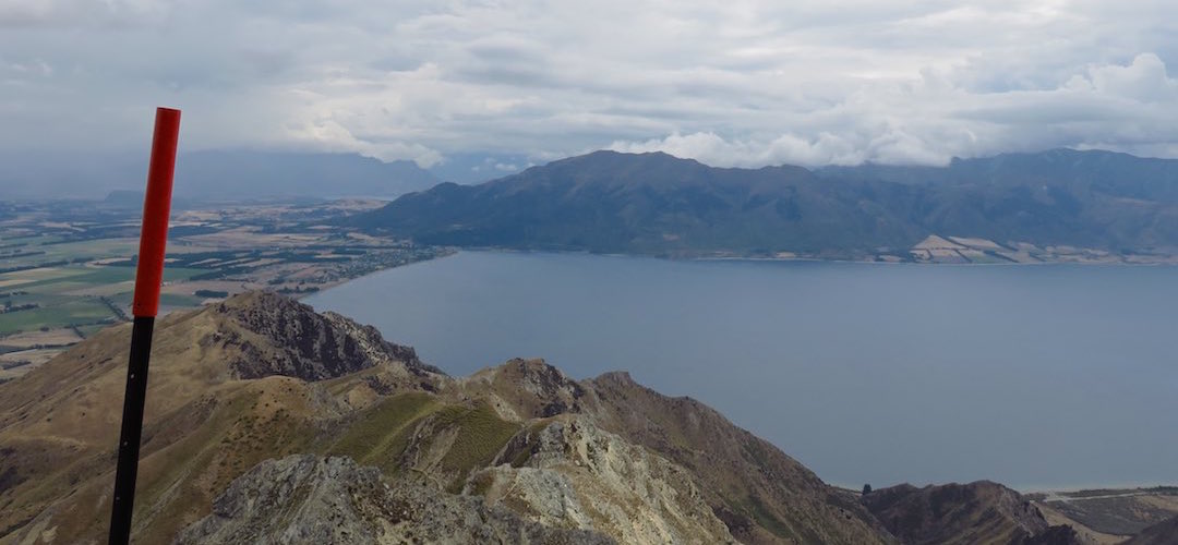
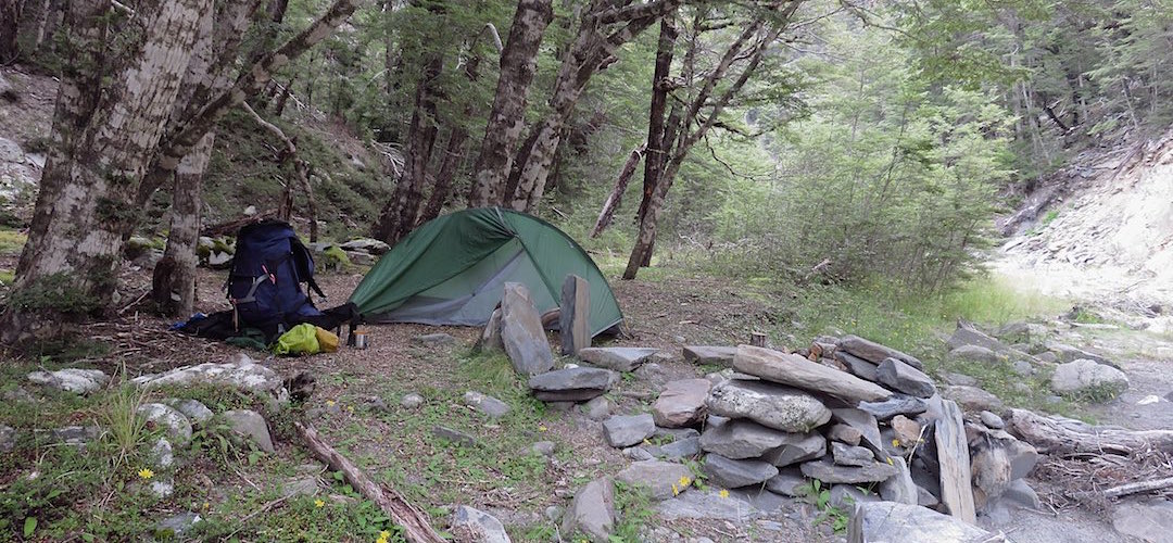
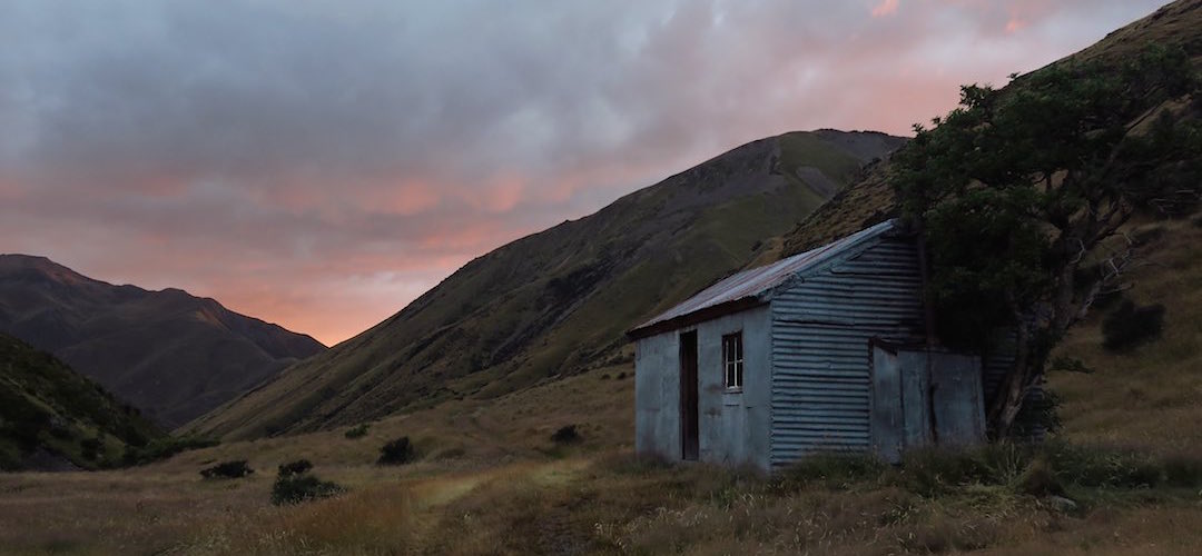
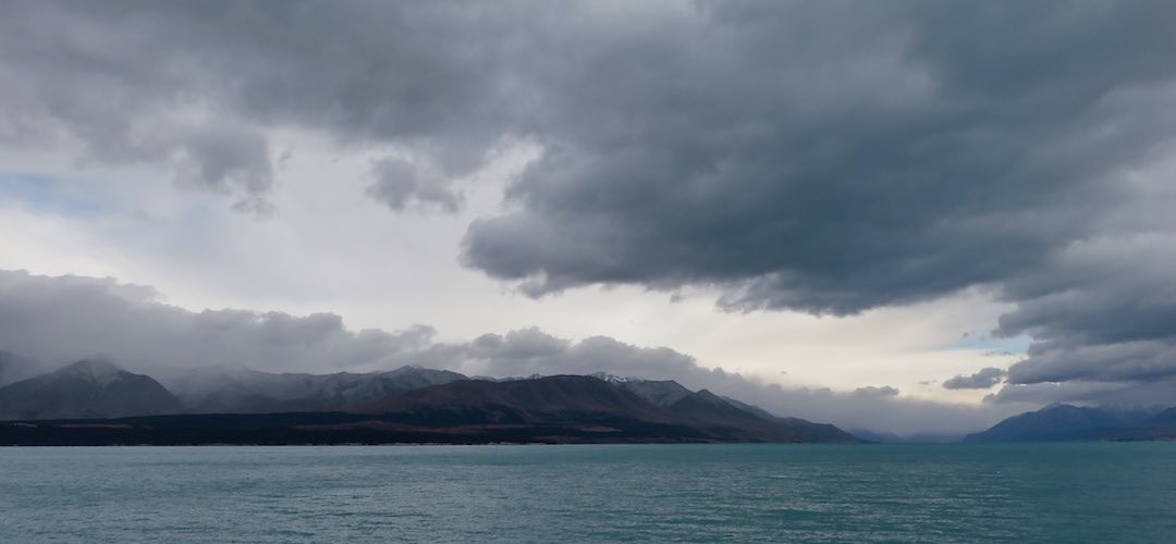
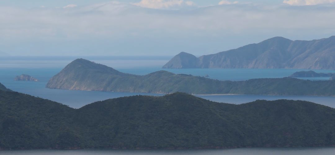
Click on the image to view the slideshow . . .
I’d been ambivalent about TA, who needs to walk 70 km through Auckland, bash away through gorse or down long km of farm trails up in the North Island?
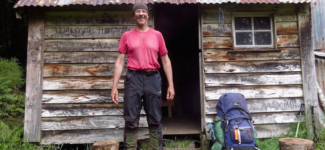
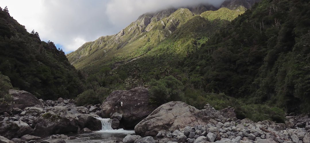
Last March I'd run into two solo TA NOBOs, Janine and then Adam, on my way south to the Lewis Pass and discussed their thoughts out on the track. By the end of winter I'd already walked most of the stretch from the most northern hut, Captains Creek in the Pelorus, to Hamilton hut, in Craigieburn, ie, most of the forested area. But at some point I realised it was worth spending the time to link the whole South Island together. In any case, what better way is there to spend a New Zealand summer?
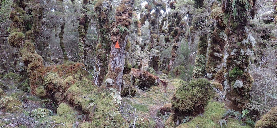
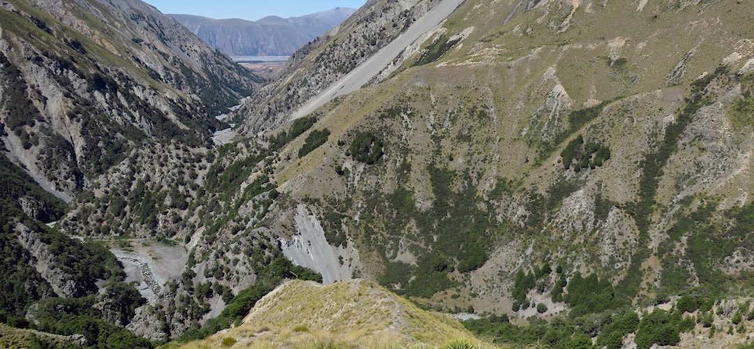
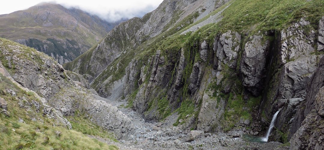
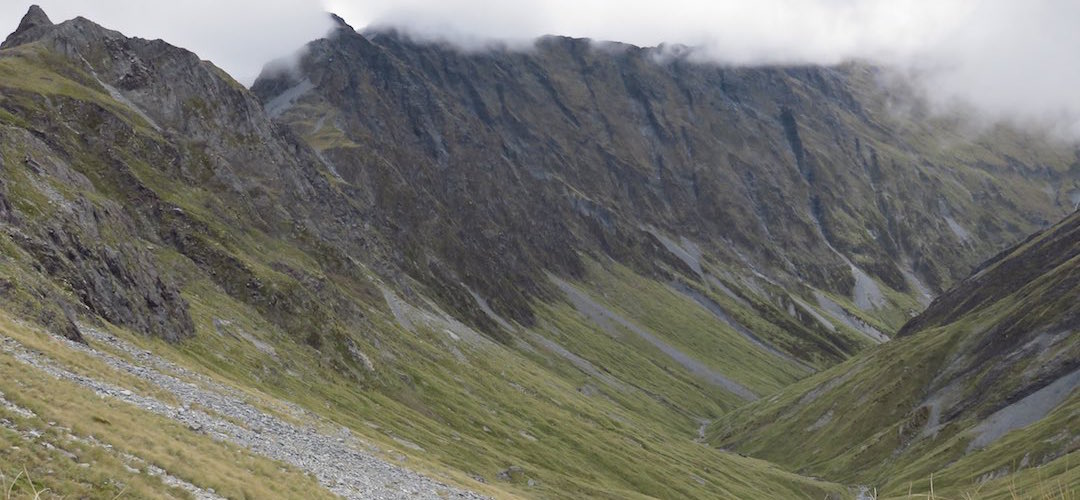
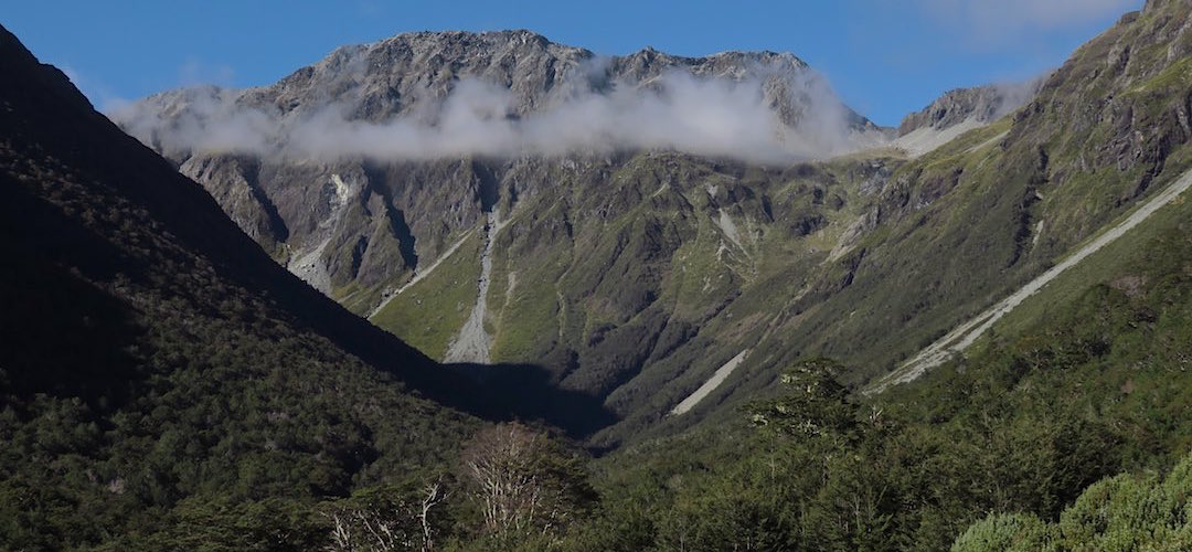
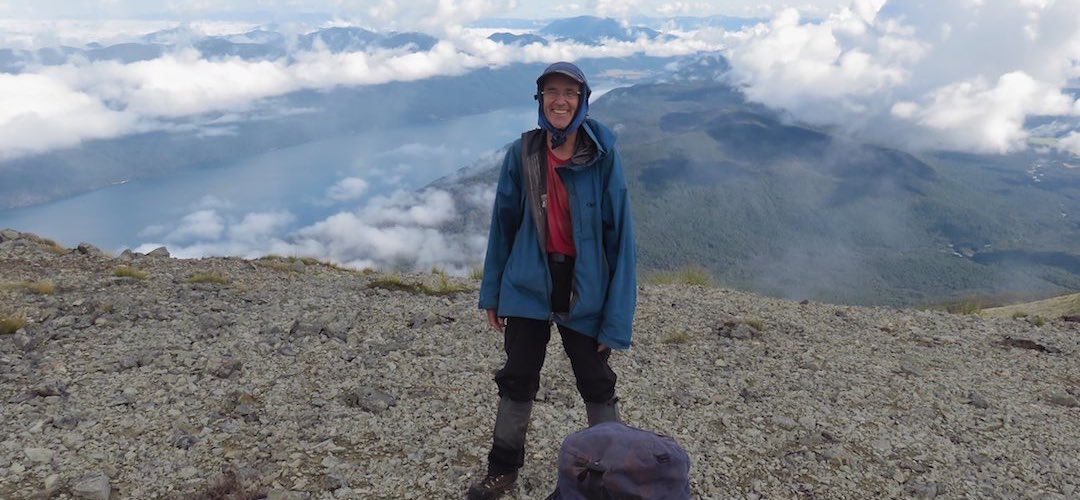
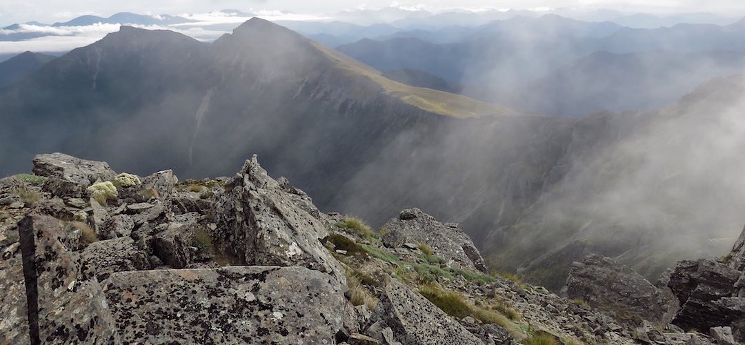
As it turned out, TA SI was a fantastic experience, meeting around 120 of the approximate 300 people who had similarly occupied their time this way, getting to cross country I hadn't experienced before, love that tussock. Overall it was more remorseless than I had anticipated, plenty of 500m climbs up to passes between the valleys, more than one 1700m climbing day, and it turns out that 1300 km is actually a long way.
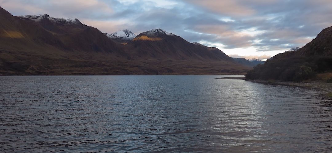
I did start to come off the track before crossing the Rakaia River, diverting up the Wilberforce to avoid Lake Coleridge road walking, then having a parallel existence to avoid Lake Sumner all the way to Lake Rotoiti. Later I found myself at the top of Mount Richmond once again. By the time I reached Cooks Cove at the end of the Queen Charlotte Track, I felt like I got TA out of the system.